Saint John
- Area
- 136.4 km²
- Metals
- A.I.S. interest
- Up to 75%
Maiden diamond drill program planned for summer 2026.
View property →
Sign up to receive updates on our latest news and events. Your email will never be shared or sold and you can opt out at any time.
No, I don't want to receive updates
An emerging copper-gold-silver-antimony corridor along the Bay of Fundy, built around an interpreted IOCG mineral system — consolidated in a single year of disciplined staking, and advancing into active exploration and drilling.
Assembled from 9,555 to 26,952 hectares in one year of disciplined staking — previously fragmented ground now under single-holder ownership, and still growing.
The district runs across southern New Brunswick west of the City of Saint John — the province's second-largest city — and roughly 30 km from the U.S. border, with the properties strung between the Bay of Fundy and the Trans-Canada Highway. Few exploration addresses in eastern Canada sit this close to highway, rail, grid power, a deep-water port and an international airport.
Trans-Canada Highway 1 and Highway 7 north to Fredericton (~110 km), with regional rail for field logistics.
Port of Saint John, plus two airports including one international.
Regional grid with the Point Lepreau nuclear station nearby.
Close to the border and a skilled regional workforce.
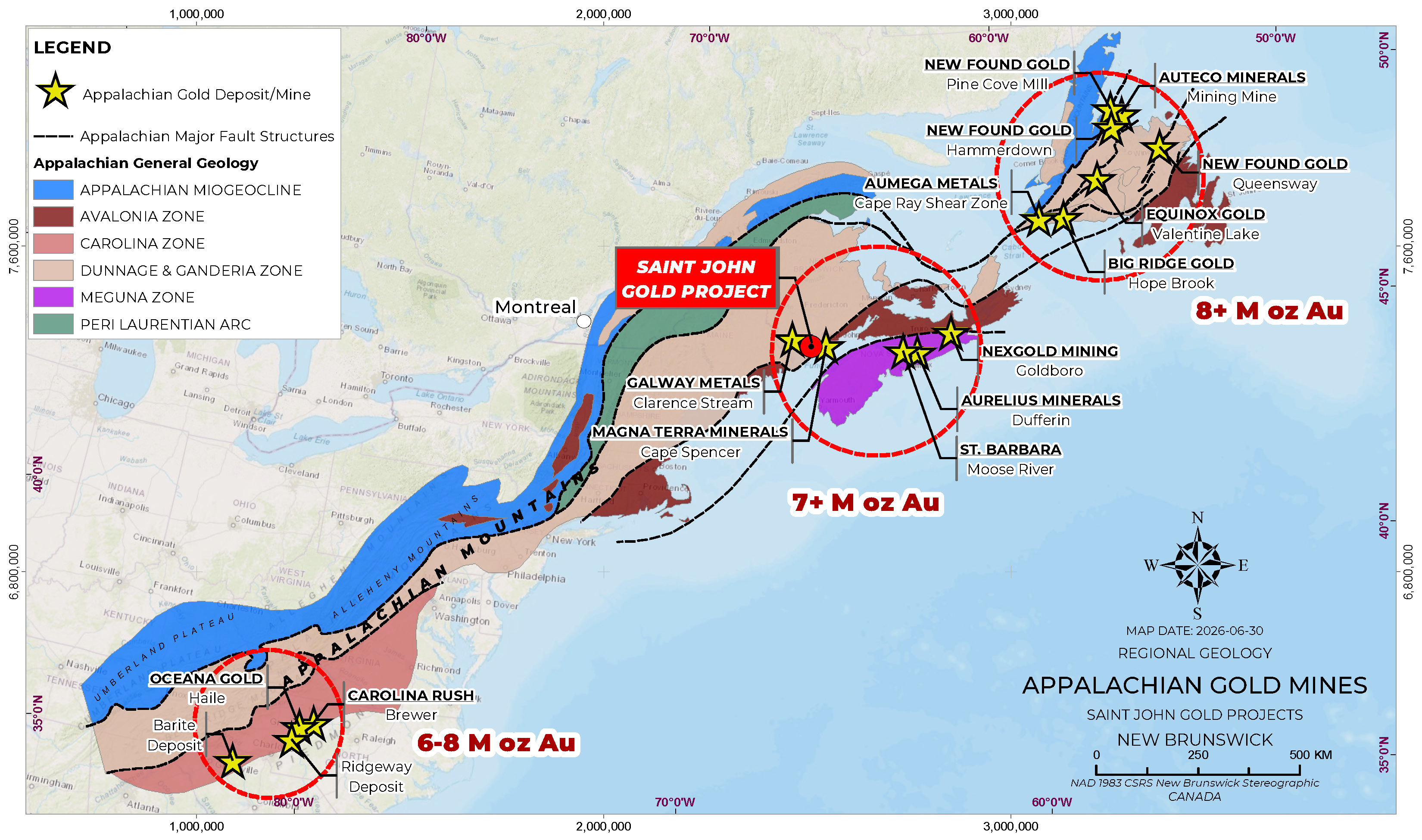
Beyond infrastructure, the district sits within the Appalachian continental-scale gold trend, where major deposits cluster along deep-seated faults at terrane boundaries. The Company cites regional analogues of similar age, structure, lithology and mineralogy — Clarence Stream (Galway), Queensway (New Found Gold) and Fosterville (Agnico Eagle) — with large untested ground remaining along the same structures.
Competitive royalties and tax rates in a recognized Canadian mining region.
Low-cost drilling and operating expenses with a skilled regional workforce.
Regional mineralization described over more than 40 km, indicating a large-scale system.
The Company's thesis is simple: the district's four properties are not four separate ideas. They appear to be parts of the same iron-oxide-copper-gold (IOCG) and magmatic copper-gold system running west to east across southern New Brunswick.
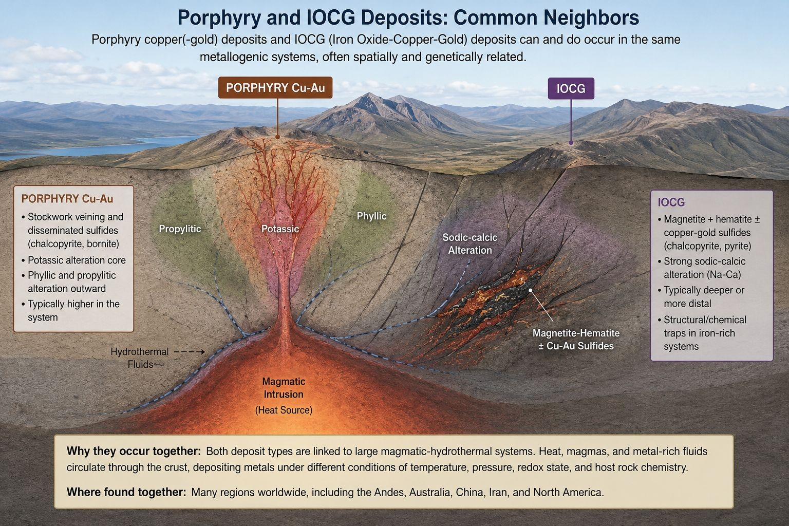
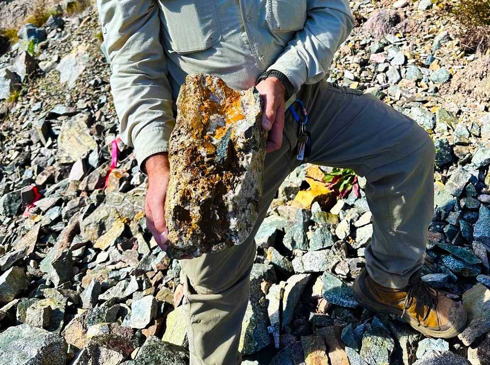
Hematite- and magnetite-bearing zones with stockwork veining and intrusion-associated magnetite — the diagnostic signature of the IOCG family.
Copper-gold ± antimony and silver localized along crustal-scale shear and fault structures at terrane boundaries.
Magnetic-low anomalies over the same gabbroic / granodioritic / sheared host rocks recur across the corridor — one repeatable model for the whole district.
Explore each property for surface results, geophysics and exploration plans.
Maiden diamond drill program planned for summer 2026.
View property →
Western anchor of the district — airborne geophysical survey complete.
View property →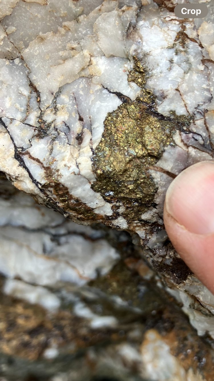
88 claims across four blocks in a highly prospective mineral belt.
View property →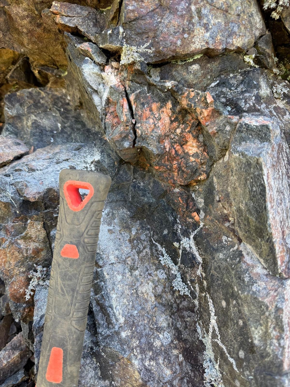
Kingston-terrane porphyry copper, identified by A.I.S. field mapping.
View property →Investor Updates
Receive the latest news releases and corporate updates from AIS Resources Ltd. directly to your inbox.
We respect your privacy. Unsubscribe at any time.